Maps
St. Landry Parish is conveniently located at the crossroads of I-49 and US Hwy 190 in the center of Acadiana just twenty minutes north of I-10. It is the largest parish in Louisiana by pure land mass, bordered to the East by the Atchafalaya Basin and extending out into the Cajun Prairie to the West.
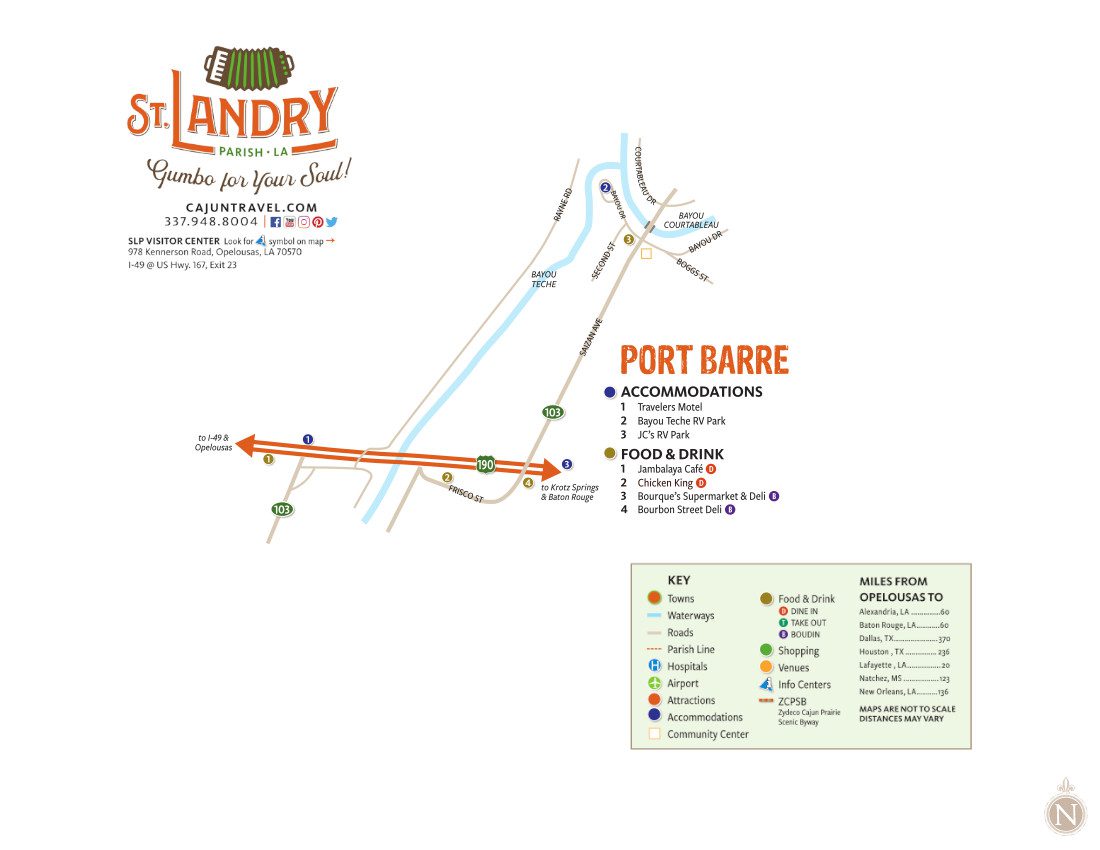
Touring Maps
Below are maps for eight of the major towns in St. Landry Parish including Arnaudville, Eunice, Grand Coteau, Krotz Springs, Opelousas, Port Barre, Sunset, and Washington. The maps provide locations for accommodations, points of interests, shops, and restaurants. Simply select your destination, then start exploring!